Hardrock 100: No Finish Line, Just a Rock to Kiss
At the Hardrock 100, you don't finish by crossing a line. After more than 160 km and more than 10,000 m of climbing in the San Juan Mountains, you have to kiss a rock painted with a ram's head. The race was born as a tribute to the miners.
By the PacePoster desk · · 3 min · 15 sources
01How the Hardrock 100 began: an ad in a magazine
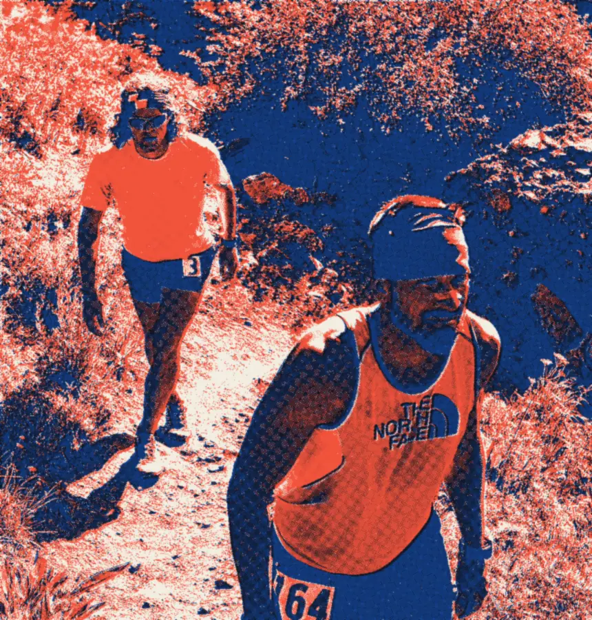
In fall 1991, Gordon Hardman runs an ad in Ultrarunning magazine: next summer, there will be a 100-mile race in the San Juan Mountains of southwestern Colorado. John Cappis, from Telluride, gets in touch to ask what he has in mind. By January 1992, a route drawn only on a map is ready. Charlie Thorn joins the project, and the permits come through in April.
The first edition starts from Silverton, clockwise: 98.8 miles and 29,684 feet of climbing, with a section added a week before the start. There are 42 starters and 18 finishers. Hardman himself finishes third, according to the official results.
02For the miners
The race is conceived as a “post-graduate” event: open, in principle, to those who have already finished several 100-milers. The course must pass as close as possible to four mining towns, Silverton, Lake City, Ouray and Telluride, and follow the old miners' trails wherever it can. Cappis and Thorn write in their course description, iRunFar reports: “This run follows routes laid out by the miners and is dedicated to their memory.”
The dates cross: the Mayflower Mill, an ore-processing plant near Silverton, closes its doors in 1991, the year the idea is born. For iRunFar, that is the end of mining in Silverton.
I think it's logical because we were running together for the whole course.
03One direction, then the other
At first, the idea was to change the starting town every year. After the first edition, Silverton is kept for good and the loop is reversed with every edition.
The profile, according to the official site: 33,441 feet of climbing, a high point of 14,048 ft (4,282 m) at Handies Peak, and a low point at Ouray. The cutoff is 48 hours.
04The rock
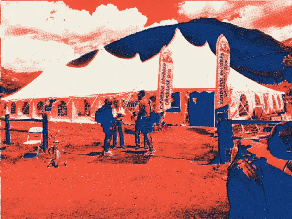
It's a big block of mine tailings with a ram's head painted on it, the race's emblem. The official course description even ends on an order: “Stop! Kiss the Hardrock!” The motto fits in three words: “Wild and Tough.”
Where does the ritual come from? The official site doesn't say, and the stories diverge. According to The Outdoor Wall, Dale Garland, today the race director, pointed at a random rock in the very first edition for lack of a finish line. According to Running for a Lifetime, it was the third year, when he told an exhausted finisher to touch a block of mine tailings. The legend is a good one; the date stays fuzzy.
052016: two men, one kiss
In 2016, Kilian Jornet already holds the record, set on his debut in 2014: 22:41:33. That year, he runs a large part of the race with American Jason Schlarb. At the finish, they take each other by the hand and kiss the rock at the same time: 22:58:28 for both, co-winners. The last shared victory dated back to 1997.
Jornet explains: “I think it's logical because we were running together for the whole course.”
Sources for this story (15)
Every fact was cross-checked in at least two independent sources. Where they disagree, the story says so.
- Origins of Hardrock — Hardrock Hundred Mile Endurance Run (site officiel)
- Hardrock Hundred Mile Endurance Run — site officiel (accueil)
- Page « About » — Hardrock Hundred Mile Endurance Run (site officiel)
- 2026 Course Description, Clockwise Direction — site officiel
- 1992 Hardrock Hundred Results — site officiel
- Hardrock 100 2016 — OpenSplitTime (résultats officiels)
- Hardrocking: Sharing the Lode — iRunFar (Meghan Hicks, 14 juillet 2016)
- Mayflower Mill — San Juan County Historical Society
- The Enduring Allure of the Hardrock 100 — Outside (13 juillet 2023)
- History of the Hardrock 100 — Running for a Lifetime (Rich Dafter, 11 juillet 2025)
- A Run Against Nature: The Hardrock 100 — The Outdoor Wall (13 juillet 2023)
- Everything You Need to Know About the 2026 Hardrock 100 — Marathon Handbook (Jessy Carveth, 6 juillet 2026)
- Two ultrarunners finish Colorado's Hardrock 100 hand-in-hand as co-champions — Running Magazine (Tim Huebsch, 16 juillet 2016)
- Jornet and Schlarb call a draw at Hardrock, becoming co-champions — Trail Runner
- API Wikimedia Commons — métadonnées des deux photos
Read next
The whole journal → No. 31
Sierre-Zinal, the Race of the Five 4,000-Meter Peaks: 31 km Under the Giants
In 1974, a mathematician launches a race many people think is crazy: Sierre-Zinal, 31 km, 2,200 m of climbing. A cross-country skier beats an Olympic champion. Half a century later, the record is decided by a breath.
 No. 32
UTMB 2003: More Than 700 Starters, 67 Finishers in Chamonix
UTMB history starts in late August 2003: at 4 a.m., more than 700 runners leave Chamonix to run around Mont Blanc in one go. The organizers hadn't expected that many. Cold, rain and hail join the party, and only 67 close the loop.